PLIS has a factual data and an integrated geodata area. The basic systems are ORACLE and open source MapServer technologies.
PLIS offers two basic geocomponents:
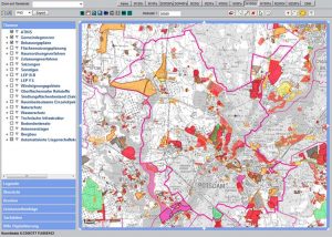
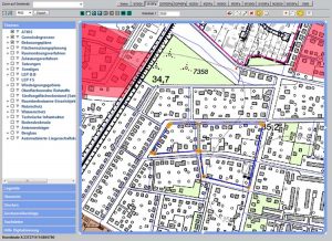
The information module displays all spatial planning information in conjunction with topographical data, the cadastre or aerial image information. The integration of external geodata is regulated via map services. Users can optionally integrate additional services.
PLIS offers the editing module for recording and editing geographical planning data. This makes it easy for users to record new plan geometries or propose changes in variant discussions, even in maps without additional software.
Infrastructure node of the GDI Brandenburg
PLIS therefore not only functions as a central infrastructure node in Brandenburg’s geodata infrastructure, but also has an equally important focus in terms of content in the management of all factual information within complex and often recursively organised factual databases.
PLIS was conceived and technically realised over several years and has been updated and updated to this day. It is currently operated in its own fully redundant computer cluster in one of the most powerful computer centres in Berlin.


